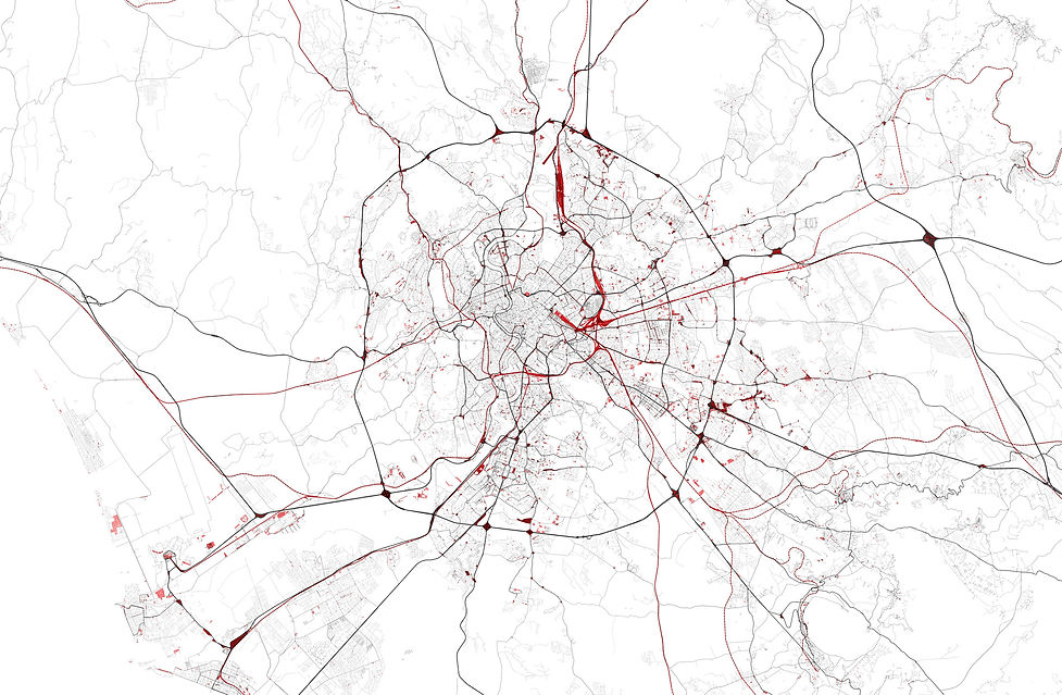
COLLAGE MAPPING
Collage Mapping is a section in my portfolio, which was taken from the work Rom. a homage. It describes the exclusion process of all regulated places in the Roman cityscape, which served to get to the unregulated, interesting and exciting. The final result of this process of exclusion is the map, which can be seen on the page of my diploma thesis. The city of Rome was, so to speak, completely dissected after the following categories were defined and then extracted from the city in practice
It is building in itself, which in my thesis building is always considered as regulated, otherwise there would not have been any building. Secondly, all areas used for agricultural purposes and all primary ecosystems, such as forests, water bodies, wetlands and protected reservoirs. Furthermore, the buffer, which describes the planned open space, which is entitled to an architecture and special areas were excluded, these are ruins, sports facilities, excavation sites, military areas or airfields. Last but not least, the so-called exile was excluded, i.e. land sacrificed by humans for infrastructural functions, as well as the category of public or semi-public parks.